Hurricane Nicole Tracker LIVE: Port Orange • Rose Bay • Live Updates Tropical Storm Nicole Florida Hurricane
Tropical Storm Nicole, which made landfall as a hurricane early on Thursday morning, is currently moving over Florida. Through the end of the workweek, other regions of the Southeast as well as the mid-Atlantic and Northeast will continue to experience its effects, which include prolonged coastal flooding, beach erosion, strong winds, high surf, heavy rain, and tornadoes.
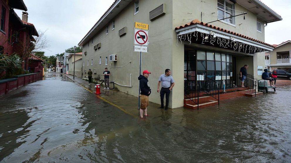
The seawall and bank on the northern end of the Cambridge Canal drainage system have been undermined, according to Port Orange Mayor Don Burnette, and the tide at Rose Bay is driving rising water in the area.
“Water levels are gradually rising, and high tide is scheduled for around 11 a.m.”
The breach might potentially have an impact on hundreds of households.
The possibility of structures and roads flooding is warned to residents. In the vicinity of the Cambridge Canal, precautionary evacuations are advised for low-lying areas.
On Wiltshire Boulevard, a command centre has been established.

Live Updates Tropical Storm Nicole Florida Hurricane
As of right now, the radar shows bands of heavy rain moving from northern and central Florida into southern Georgia and South Carolina.
Up until 1 p.m. ET, northeast Florida and far southeast Georgia are under a tornado watch.
According to the National Hurricane Center analysis below, Nicole’s extensive wind field means tropical storm-force winds (39 mph or greater) extend far to the west, north, and east of that center, including much of the Florida Peninsula, coastal Georgia, and coastal South Carolina.
On Florida’s Atlantic coast, winds have gusted at 70 mph or more in places like Playalinda Beach (77 mph), Cape Canaveral (75 mph), Melbourne (70 mph), and Daytona Beach. Numerous places, including Jacksonville, Orlando, and St. Petersburg, have recorded wind gusts of at least 60 mph.
Be the first to comment